Drone & Aerial
Photography / Videography
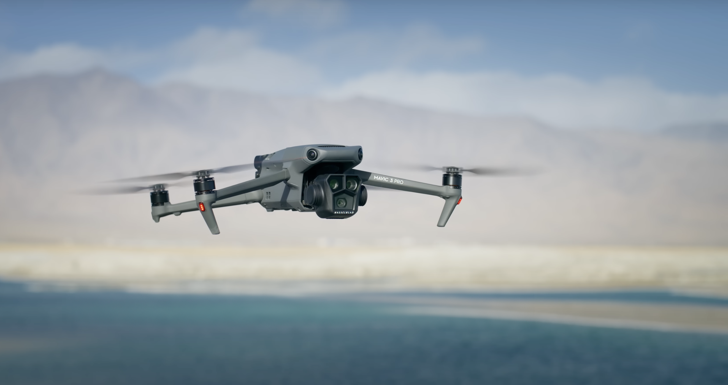
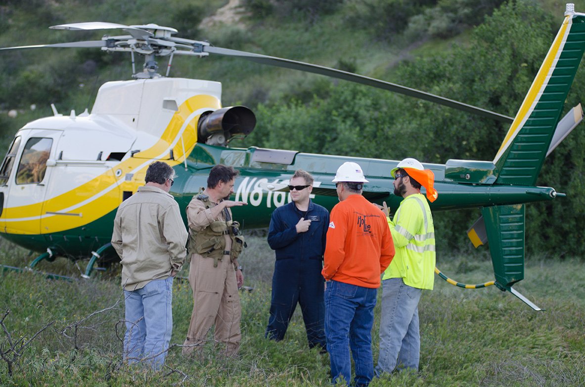
Although we still do traditional aerial photography and videography from helicopters, drones have taken over as the affordable go-to option for most industries.

Whether it’s capturing images on a construction job site or video inside a manufacturing facility, new multi-lens and specialized drones allow us to capture images like never before. From small FPV drones that allow us to navigate through tight spaces and technology to preset flight patterns, track subject and more; we are now able to capture unique images and video that were once impossible.
Construction
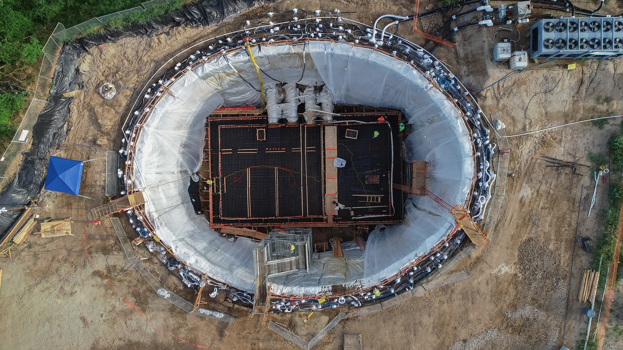
Drone photography and videography have become vital tools for construction companies. Aerial photos and videos of your jobsite provide you with total jobsite visibility. Use of high-resolution images and stunning flyovers keep stakeholders up to date and make for unique marketing content.
Documenting construction progress via drone photography is a great practice for every job site. Many engineers, architects, and general contractors are realizing the benefits when effectively documenting their ongoing projects using photographs to:
Ensure work is up to code.
Update timelines and schedules
Avoid disputes and litigation
Reduce mistakes and rework
Fulfill contract obligations
Access unique perspectives
Build superior jobsite archives


Agricultural
Agriculture is one of the largest growing segments utilizing aerial photos and videos. In agriculture, growers must cut costs while maximizing the land’s economic production. Weather patterns and land movement can present a major challenge, especially over hundreds or thousands of acres of land with different ecologies, assets, and environmental obstacles.
Agriculture drone services help growers apply Precision Agriculture techniques for better crop and livestock management. Drones provide farming photography and video data, covering large land areas quickly to pinpoint where actions are needed. Drones deliver real-time feedback on soil, plant, moisture, and topography to maximize yield, avoid waste, and increase the bottom line.
Aerial drone photography services help farmers stay agile in their land management responsibilities. Drone video and photos are extremely effective for scouting land and crop features quickly, leading to smarter resource decisions that cut costs and increase production.

With agriculture drone services, growers can:
Increase crop yields by monitoring multiple issues affecting plant health and growth.
Quickly find and address crop disease, infestation, or poor irrigation not seen in ground-level checks. Analysis tools such as normalized differential vegetation indexing (NDVI) help you zero in, compare, and adjust conditions to maximize yield.
Leverage topographical, thermal, and spectral mapping to monitor and assess crop health faster with more precision over large land areas.
Perform soil & field analysis to assess moisture and fertility levels, identifying irrigation and nitrogen management actions needed to reduce waste.
Plant more efficiently by gathering visual data that maps the terrain and collects information about the topography and soil.
Manage irrigation with a comprehensive and accurate lay of the land. Aerial photography makes it easy to identify slopes and drainage, and drones with thermal cameras can detect both dry and wet ground, allowing farmers to adjust irrigation as needed.

Industrial and Manufacturing
With today’s technology, smaller drones are now able to be flown inside for a unique perspective.
Real Estate
Drones are used in the real estate industry to create virtual tours of properties and capture aerial photos and videos that show the property, its features and the surrounding area.
Insurance
Drones are used in the insurance industry to inspect damage from natural disasters, such as hurricanes and wildfires. They can also be used to assess property damage and investigate claims which can help insurance companies process claims more quickly and accurately.

Other uses for Drones
Solar Farm Inspection
Drones have become an essential tool for the solar inspection process. They can quickly access hard-to-reach areas and provide a close-up view of the panels being inspected.
Energy and Utilities
Commercial drones have revolutionized the way energy utilities operate. For example, they are used to inspect power lines, wind turbines, pipelines, solar panels and more.
Mining and Aggregate
Drones are used in the mining and aggregate industry to survey sites, monitor stockpiles, and inspect equipment.

Drones equipped with thermal imaging cameras and specialized sensors can detect heat signatures and identify areas of concern on structures, solar panels, power lines and more.